Wester Ross & NC500
Bealach na Ba
About
Bealach na Ba
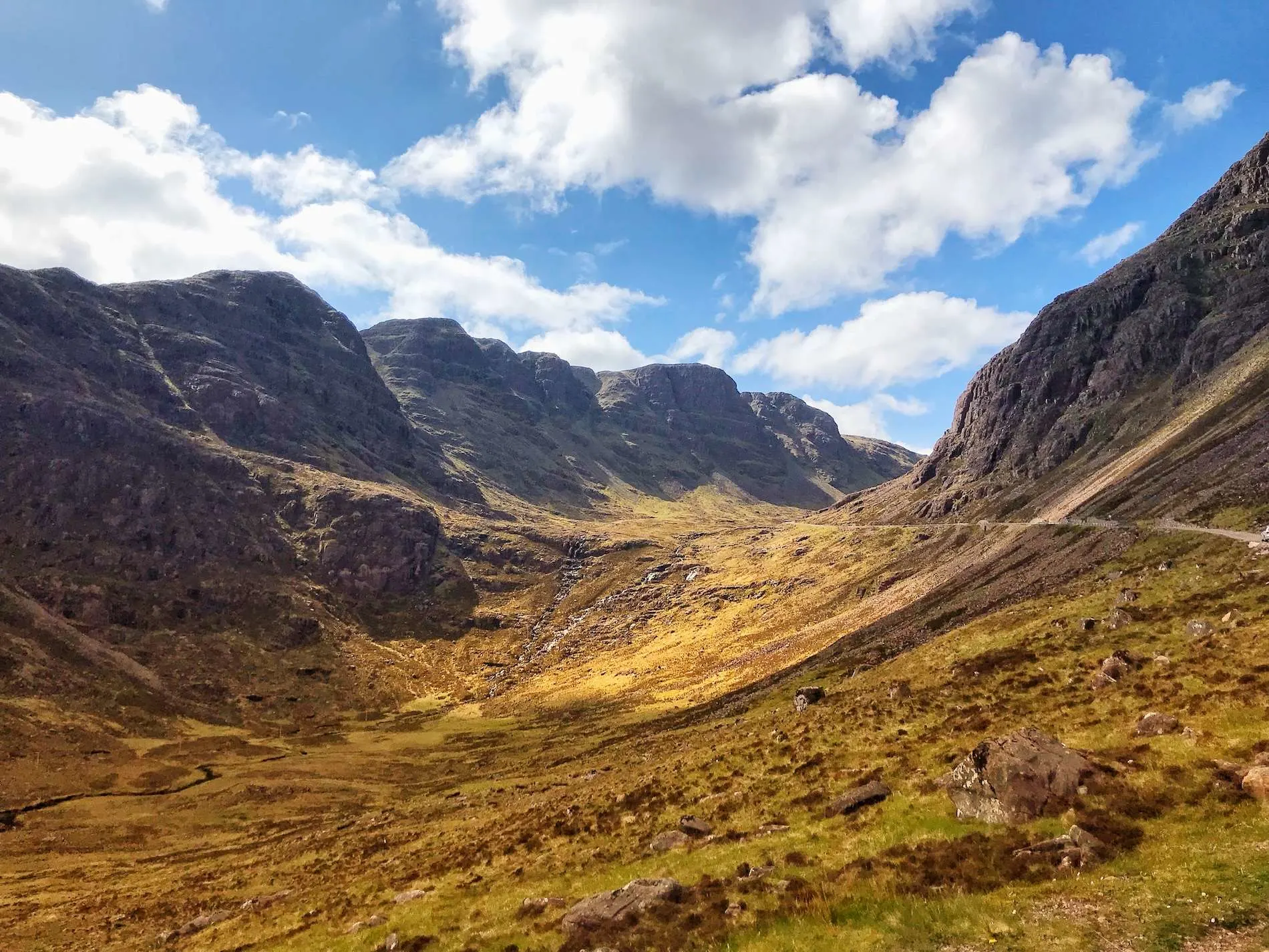
The Bealach na Bà, which means "Pass of the Cattle" in Gaelic, is more than a road, it’s really an iconic and unforgettable attraction in its own right! The historic single-track mountain has the most spectacular and dramatic ascent of any road in the UK, with tight hairpin curves and steep slopes reaching 2,054 feet. As you drive through its twists and turns, the journey itself becomes the highlight, ending in stunning breathtaking view from the peak of Wester Ross, the Isle of Skye, and the far Outer Hebrides. It really is a testament to engineering and a natural beauty making it a must see for every adventurous visitor to the Scottish Highlands. At Hopscotch Travel, our 5 Day Highlands and Skye private tour incorporates Bealach na Bà.
Things to see & do

FAQs
Bealach na Bà is Scottish Gaelic for 'Pass of the Cattle', a nod to its history as a drovers' road for moving cattle from the Applecross coast to markets in the east. The road was built in 1822.
On foot it's a demanding hike, climbing 626 metres over roughly 9km on steep gradients. It's rated challenging and needs good fitness and proper footwear. Allow three to four hours for the ascent.
It's the steepest road ascent in the UK and the third-highest road in Scotland, with tight hairpins and gradients of up to 20%. Steer clear if you're a learner, in a caravan, or driving anything large. Confident drivers in a standard car will manage, though it's demanding, and the summit views are worth the effort.
A warning sign at the foot of the pass advises that the road isn't suitable for large vehicles, learner drivers, or nervous drivers. Caravans and motorhomes are pointed to the alternative coastal road via Shieldaig.
Book a private tour and explore
Bealach na Ba
with a local expert guide.




Start Planning Your Scotland Adventure
Please contact us if you’d like to customise an existing tour or if you want to create a bespoke tour specifically for you and your group.
Our expert team of advisors are here to help.
.avif)