Fort William & Lochaber
Ben Nevis
About
Ben Nevis
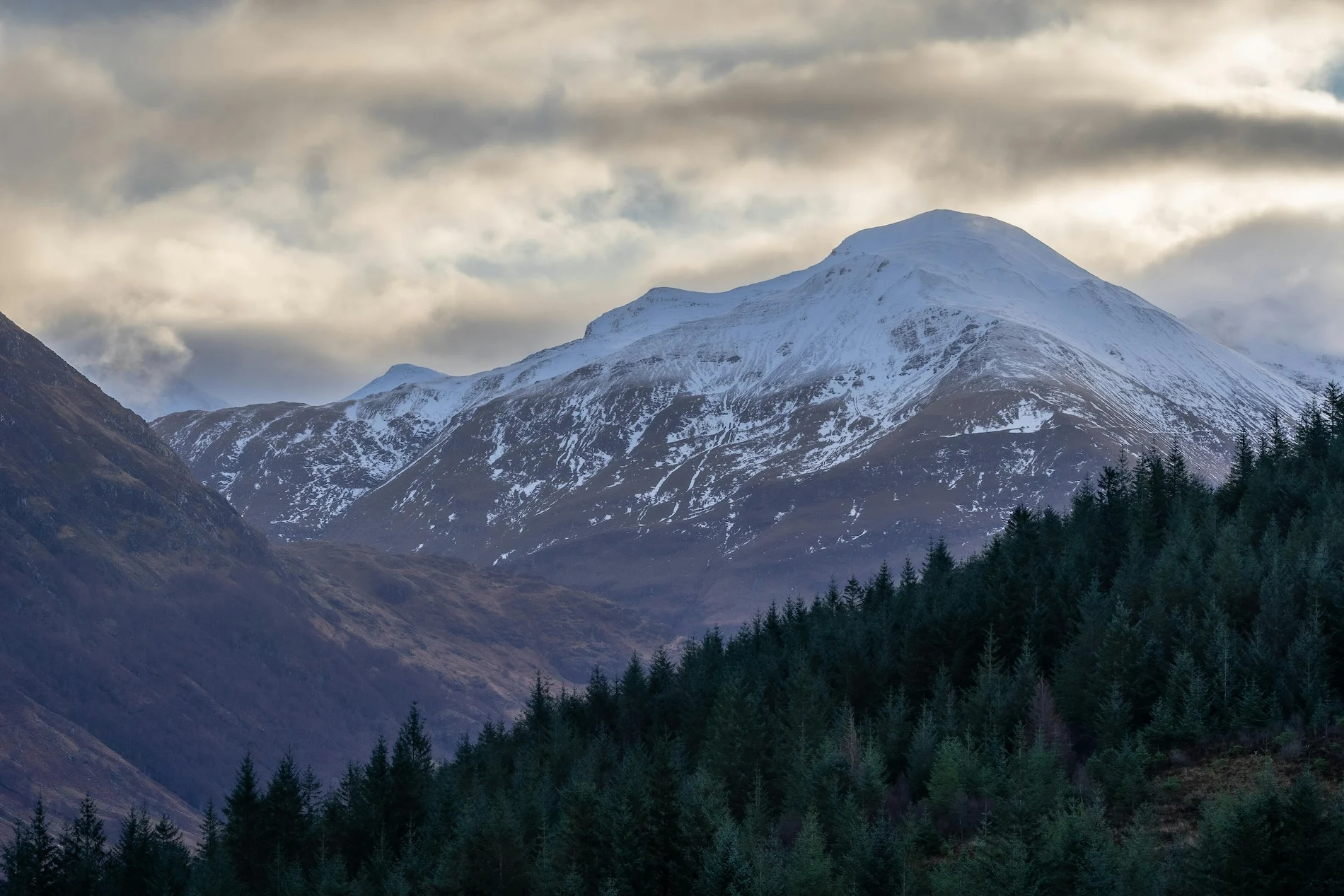
Ben Nevis, in the tallest peak in the United Kingdom and is located in the Scottish Highlands close to Fort William. It attracts 125,000 hikers each year. This old volcano was once an active giant, now provides breathtaking views and challenging climb. Its Gaelic name, “mountain with its head in the clouds” or “venomous mountain”, alludes to its frequently foggy peak. While many people consider “bagging the Ben” essential, remember that Scottish Munro’s require appropriate hill walking experience, the right equipment, physical fitness and navigational skills, particularly during the winter. Visit Walk Highlands for guidance and comprehensive routes. At Hopscotch Travel, we have a number of our multi-day tours . which incorporate Ben Nevis. Some of these include our 5 day Highland Highlights tour , and our 3 day Isle of Skye private tour .
Things to see & do

FAQs
The Mountain Track, also called the Pony Track, usually takes seven to nine hours for the full round trip, with about three and a half to four and a half hours to the summit. Allow a full day and set off early.
A fit beginner can manage the Mountain Track with the right clothing, footwear, and preparation. It isn't an easy walk, but in summer it doesn't call for specialist kit. Winter ascents are a different matter and need mountaineering experience and equipment.
The name comes from the Scottish Gaelic 'Beinn Nibheis'. Its exact meaning is debated, with popular translations including 'mountain with its head in the clouds' and 'venomous mountain', both fitting for such a cloud-shrouded, formidable summit.
The summit runs around 8°C colder than the base. Even on a warm summer's day, the 1,345-metre top can drop below freezing, with frequent cloud, wind, and rain. Carry warm, waterproof layers whatever the weather is doing at the bottom.
Book a private tour and explore
Ben Nevis
with a local expert guide.
Tours visiting this attraction


Start Planning Your Scotland Adventure
Please contact us if you’d like to customise an existing tour or if you want to create a bespoke tour specifically for you and your group.
Our expert team of advisors are here to help.
.avif)